
Services

Our Services
We provide advanced expertise and technologies to support companies and public entities in every phase of their projects, from design to monitoring.
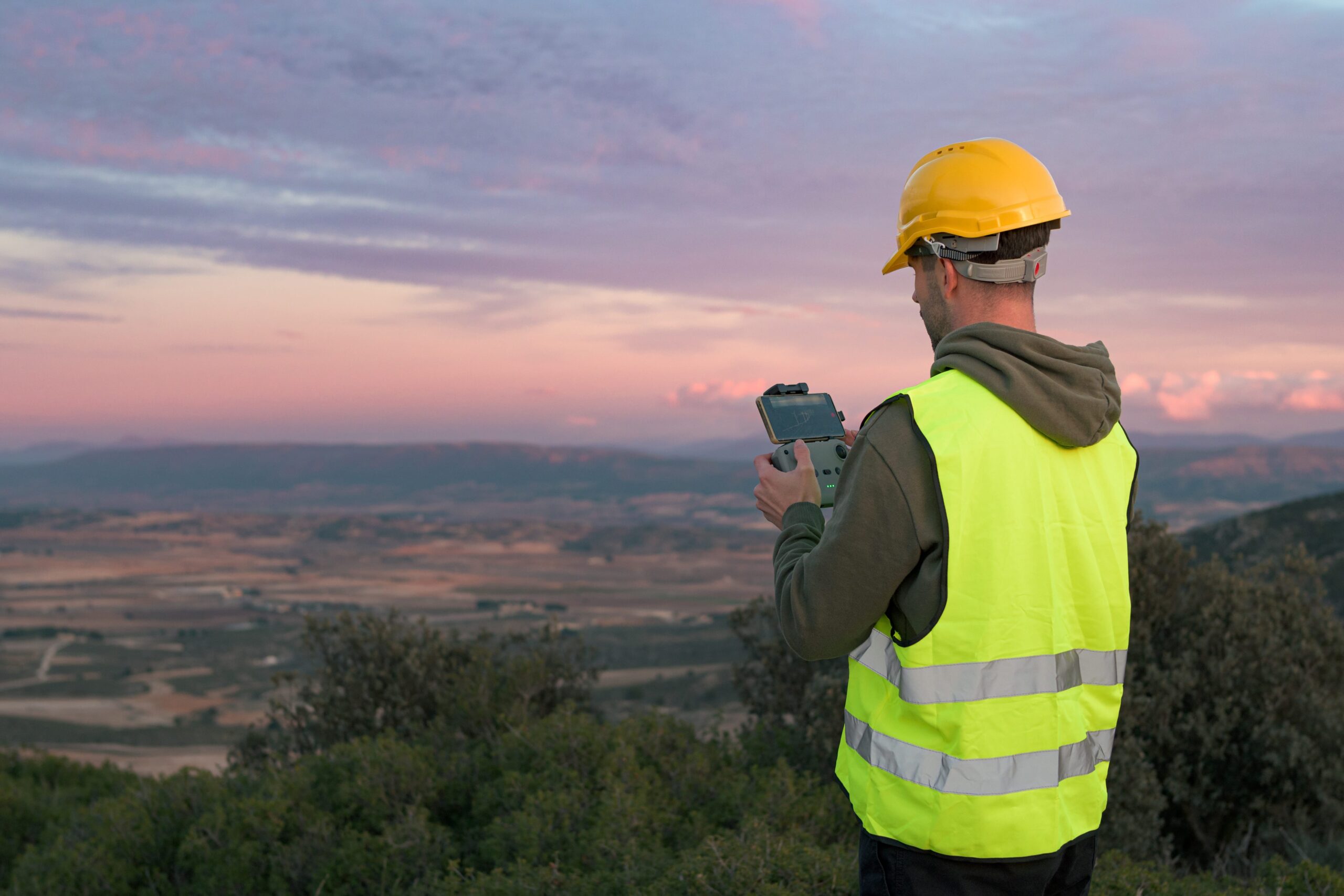
Terrestrial and Aerial Surveys
Tecno-Geo carries out terrestrial and aerial topographic surveys using high-precision instruments and remotely piloted aircraft systems (UAS) equipped with RTK and SLAM (Simultaneous Localization and Mapping) technology to ensure maximum accuracy and data reliability.
Aerial photogrammetric datasets are processed using Structure from Motion techniques and subsequently refined with specialized software. The integration of terrestrial SLAM-based mapping with aerial surveys provides centimetric accuracy and enables operations in complex environments, supporting design activities, monitoring programmes, and territorial analysis.


Mapping and Design
The company provides advanced mapping and design services for building and infrastructure sectors. Activities include the preparation of technical drawings, 2D/2.5D/3D graphic modelling, preliminary and executive construction cost estimates, management of property documentation, and support for construction supervision.
By integrating high-density survey data with professional specialist software, Tecno-Geo delivers accurate design drawings, parametric 3D models, reverse engineering outputs, and technical documentation compliant with industry standards.
Topography and Cadastre
In the topographic and cadastral field, Tecno-Geo performs high-precision surveys using total stations, GNSS receivers, and UAS equipped with next-generation LiDAR and SLAM systems to produce high-resolution 3D models.
Services include cartographic updates, boundary retracement, cadastral consistency checks, subdivision maps, updating deeds, and centimetric/sub-centimetric processing to support building and infrastructure projects.
The accuracy of the surveys ensures reliable territorial representations fully compliant with current cadastral regulations.

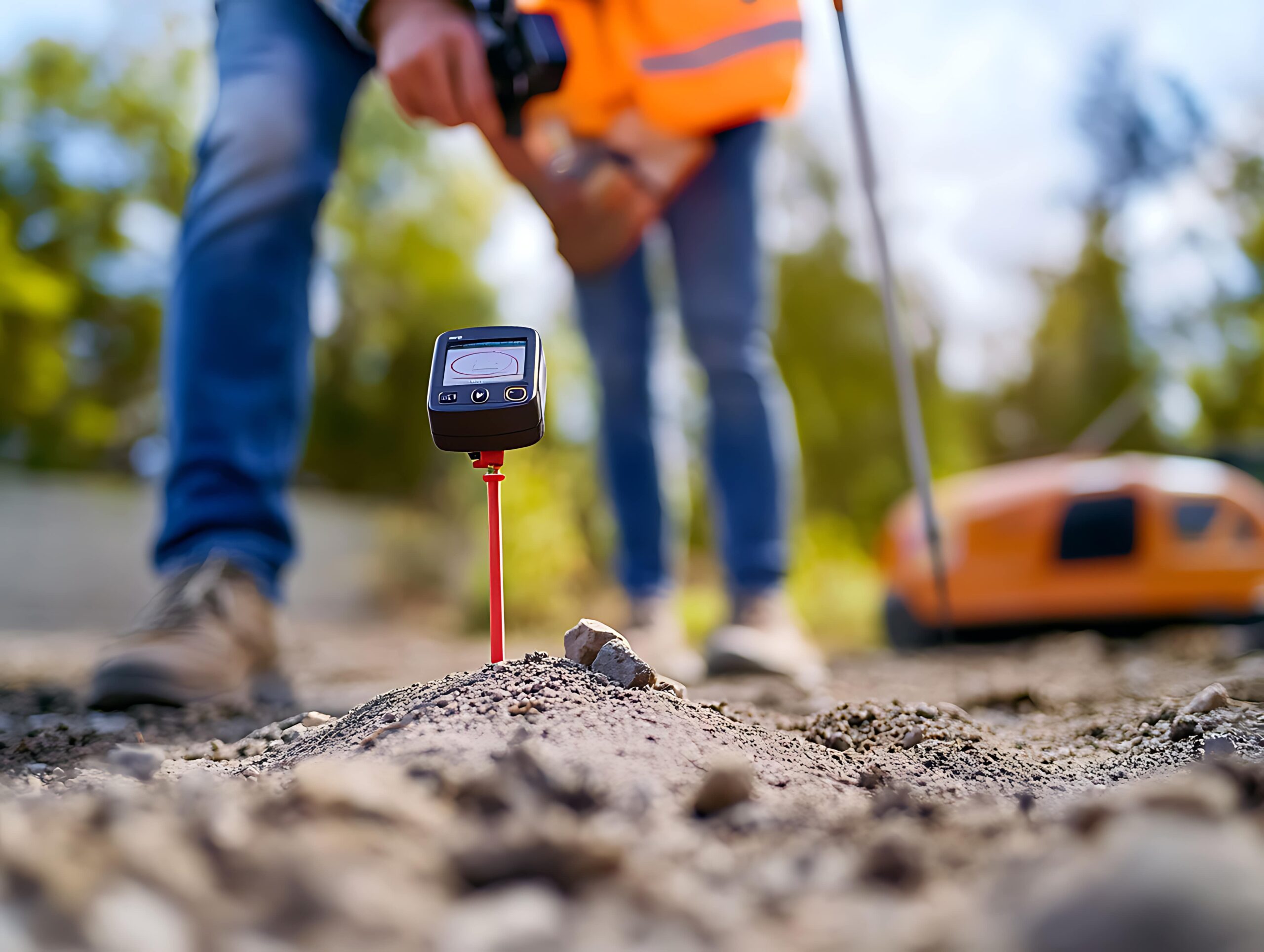
GPR Surveys
Tecno-Geo conducts non-invasive geophysical investigations using Ground Penetrating Radar (GPR) systems for the detection and characterization of underground utilities, subsurface anomalies, buried structures, and lithological variations.
Radar acquisitions are processed with specialist software for electromagnetic reflection analysis, enabling the production of tomographic sections and interpretative maps.
This methodology is particularly effective during preliminary design phases, structural investigations, and in contexts requiring minimal intrusive actions.
Terrestrial and Aerial Inspections
The company performs terrestrial and aerial technical inspections to verify work progress, assess the operational condition of infrastructures and facilities, and conduct surveillance of industrial, mining, and energy sites.
The use of professional UAS and high-resolution sensors enables the acquisition of detailed information even in hard-to-reach areas, ensuring continuous monitoring and the generation of comprehensive technical reports for maintenance assessment and risk management.
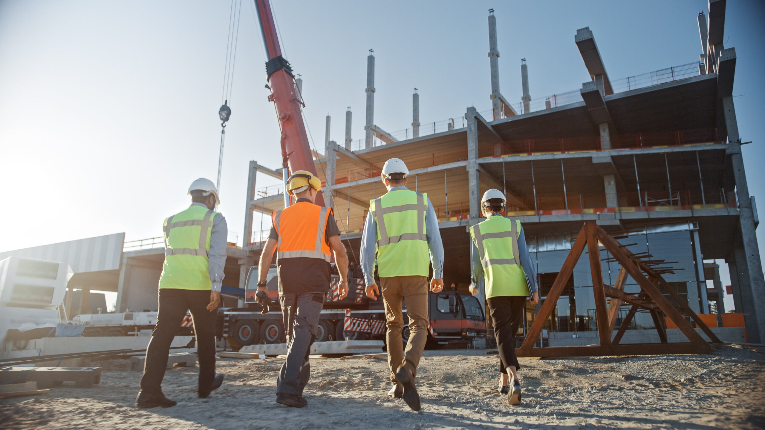

Construction Site Safety
Tecno-Geo operates in the technical management of safety for both construction and mining sites. The company prepares Safety and Coordination Plans (PSC) during design and execution phases and performs coordination activities in full compliance with current regulations.
In the mining sector, Tecno-Geo is specialized in overseeing drilling operations—both exploratory and productive—monitoring operating conditions, the correct implementation of procedures, and adherence to safety and environmental protection standards.
Digitalization
Tecno-Geo develops advanced systems for the management and transformation of geographic data through GIS platforms.
Activities include analysis of geospatial databases, conversions between vector and raster formats, consistency checks, data validation, and publication workflows.
The design of WebGIS infrastructures with dynamic repositories provides centralized, constantly updated access to territorial information, supporting data-driven decision-making and the digitalization of technical-administrative processes.

Let’s Talk About Your Project
Rely on Tecno-Geo’s experience and expertise to turn your challenges into concrete results. We’re ready to support you with innovative, tailored solutions for every need.